




























































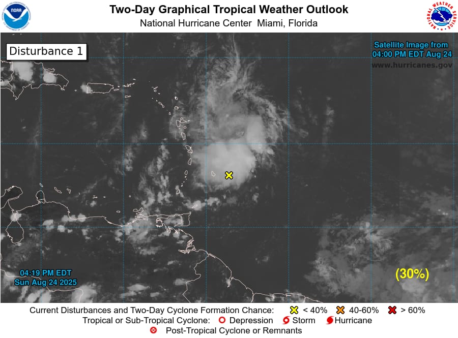
As of 4:20 PM EDT Sun Aug 24 2025…
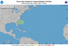
East of the Windward Islands (AL99):
Data from the Air Force reconnaissance aircraft indicate that the system located near the Windward Islands does not have a closed low-level circulation.
However, the system is still producing a large area of showers and thunderstorms and winds to near gale force, and these conditions are expected to affect the Windward and Leeward Islands tonight and Monday.
The system is expected to reach the central Caribbean Sea on Tuesday, where conditions are forecast to become less favorable for additional development.
Formation chance through 48 hours…low…30 percent.
Formation chance through 7 days…low…30 percent.
Aug 24 4:20PM EDT: Update on #99L
Data indicate that the system located near the Windward Islands does not have a closed low-level circulation. However, the system is still producing a large area of showers and thunderstorms and winds to near gale force. These conditions are expected to affect the Windward and Leeward Islands tonight and Monday. For updates visit http://hurricanes.gov